Taiwan
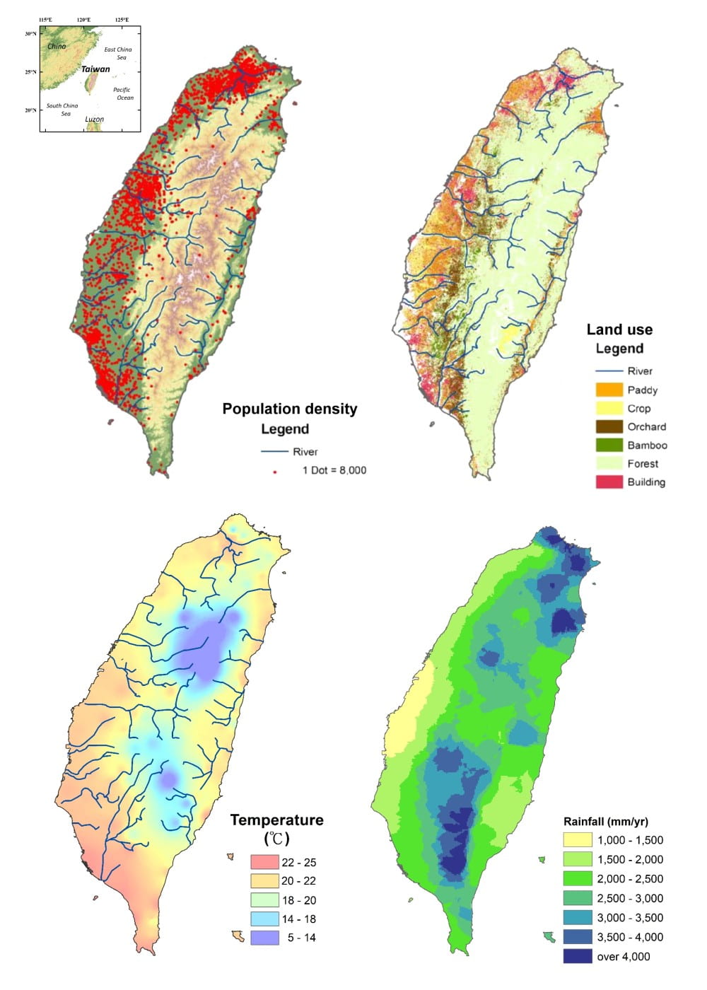
Taiwan owns an area approximately 36,000 km2 with 23 million residents, giving a population density of ~640 cap km-2. Of the whole population, people mainly dwell in the western plains, in which the metropolitan areas are especially with higher population. Forests, mostly located in the mountains, take up the biggest percentage of land use with 58% in Taiwan. As for the agriculture lands, they are mostly distributed on the western plains while some are scattered on the hillsides. The total arable land area is ~8550 km2, covering about 23.75% of land in Taiwan. With urbanization and population aging, most rural and agriculture areas are facing with the problem of field abandonment.
Transected by the tropic of Cancer, Taiwan owns both tropical and sub-tropical climates. The average annual temperature is above 20°C with south-western part of Taiwan usually experiences higher temperatures. The center of Taiwan is mountainous, making this region cool throughout the year with temperature ranging from 5~14°C The long-term annual precipitation in Taiwan is approximately 2400 mm yr-1, with about 30~50% contributed by tropical cyclones during summer. The rainfall hotspots found in northeastern and southwestern part of Taiwan are formed respectively due to Asia monsoon and typhoons. The raining season is in summer, in which nearly the whole island receives rainfall. Uneven distribution of precipitation leads to the difficulty of water sources for agriculture production.
Taiwan island is a well suited part of the ABRESO project since study regions are large enough to incorporate a mosaic of land uses and management approaches including abandonment and redevelopment, while small enough to allow detailed assessment of biophysical circumstances in different watersheds and regional variation in stakeholders. The Taiwan team decided to use the Taipei Water Resource Protection Area (TWRPA) (Figure 2) as the study site due to its importance in domestic water supply and tea cultivation.
Taipei Water Resource Protection Area
Located in northern Taiwan, just south of Taipei city, the Taipei Water Resource Protection Area (TWRPA) spans an elevation of 15 to 2122 m, with a mean slope steepness of 51%. The dominant soils are Entisols and Inceptisols, with high silt contents developed from argillite and slate with sandstone interbeds. The land use types within the TWRPA mainly include forests (94%), agricultural lands (4.1%), and other built-up areas (1.4%). The agricultural activities are restricted to pre-existing farmlands because the region was designated for water resource protection following the construction of the Fei-Tsui Reservoir in 1987. Tea plantations (approximate 1200 ha) dominate the agriculture land, and the fertilizer applications can reach 786 kg-N ha-1 yr-1. Recent investigation revealed that both population and tea farms have decreased to 50%. The government has also encouraged green (or organic) farming in order to increase farming profits and protect water quality.
The TWRPA can be further divided into three subareas including the Fei-Tsui Reservoir , Jing-Gua-Liao and Fushan Experimental Forest.
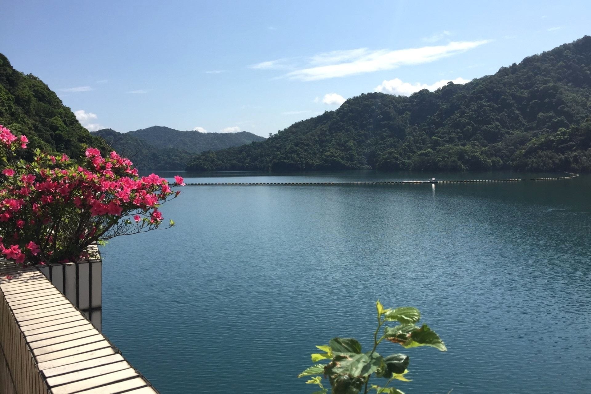
Fei-Tsui Reservoir (FTR) is the second largest reservoir in Taiwan, and is the main drinking water resource for Taipei City. Hydrological data including daily inflow, outflow and reservoir total water volume and monthly water quality data have been monitored by the FTR Administration Bureau since 1987.
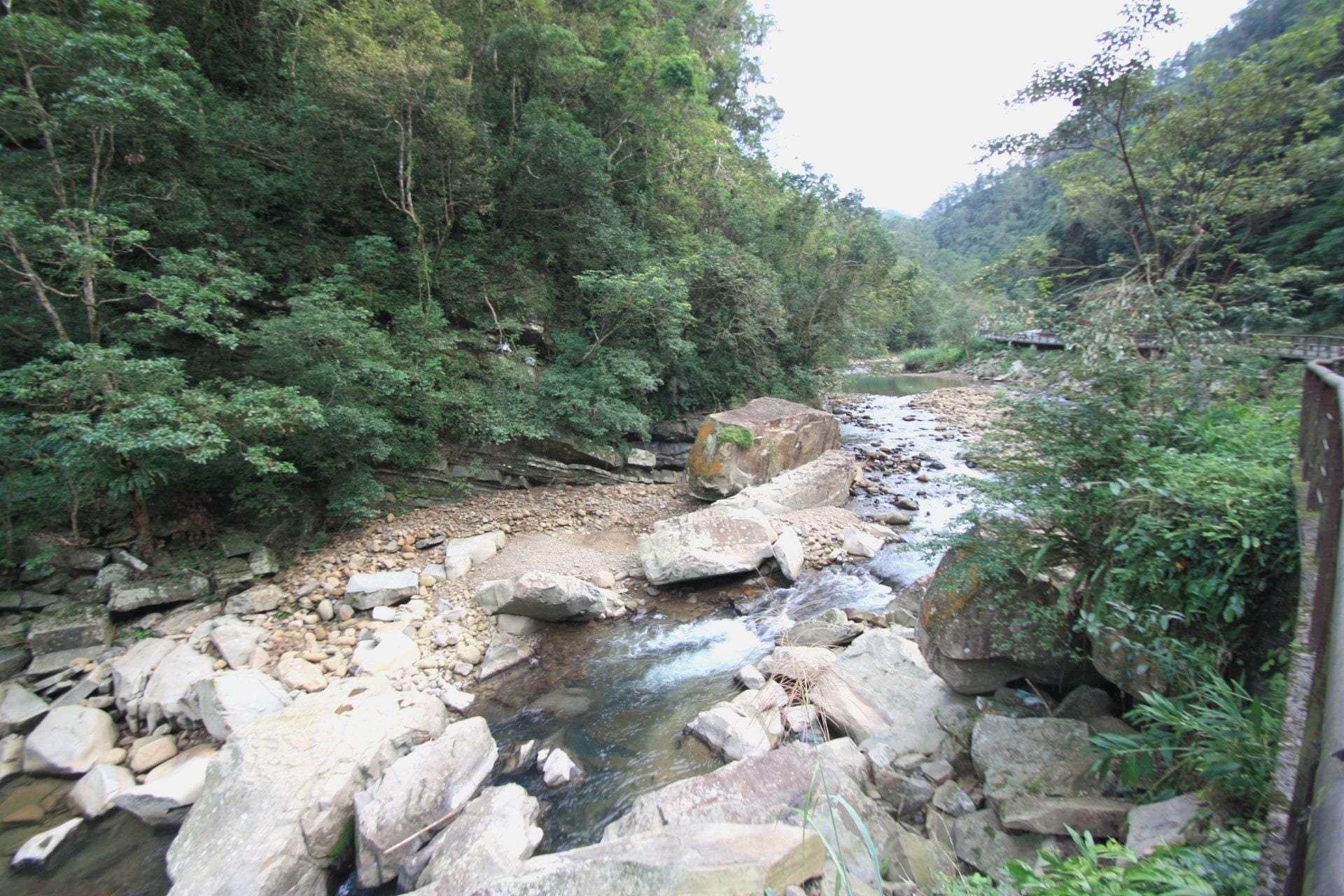
Jing-Gua-Liao (JGL) creek is a tributary in a catchment of FTR which supplies water for people’s livelihood in Taipei, capital of Taiwan. The main agricultural land use is tea farm which accounts for 7.7% of the JGL catchment. Including upstream and downstream, two monitoring sites are built in JGL since 2021 to estimate impacts of agroforestry system on water quality.
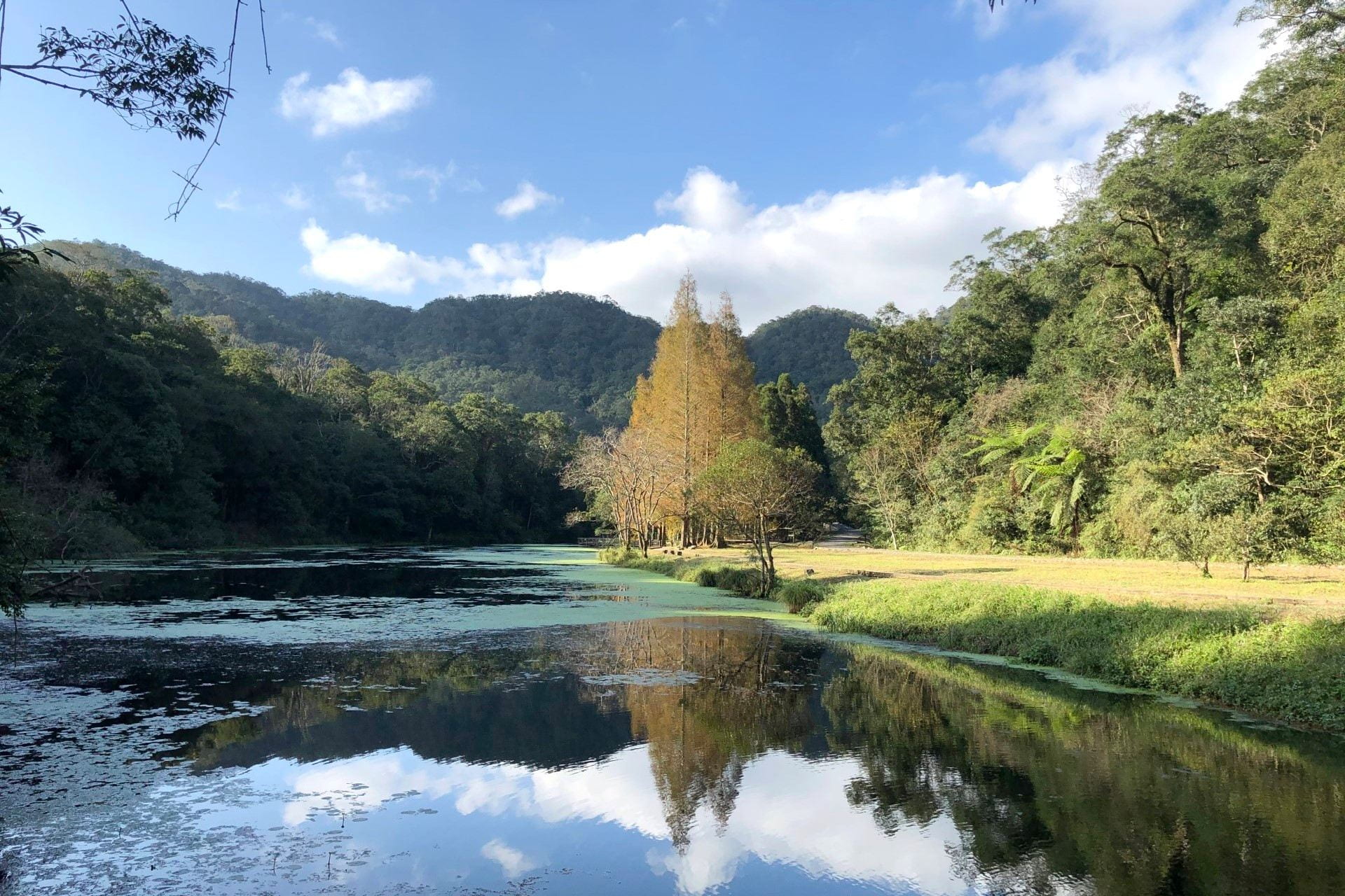
Fushan Experimental Forest (FEF) is a subtropical headwater catchment with nearly no human disturbance in northern Taiwan. Meanwhile, FEF is a Long-Term Ecological Research Network (LTER) site and a famous research site worldwide, since it attended LTER in 1993. Over the past two decades, FEF is selected as study site by many research projects and studies and thus the basic information of FEF is comprehensive.
Research Questions
Under the general consensus in ABRESO, the natural sciences provide a framework for understanding the response of soil and water to changes in land cover and management. The agricultural activities and construction of buildings had been restricted to pre-existing farmlands due to the protection of water resource after the construction of the Feitsui Reservoir from 1987. It leads to emigration of population and abandonment of field.
For the aspect of natural science in our project, two research questions are addressed:
- How different farm land management patterns alter soil and water quality, groundwater transport, ecosystem services at both plot and catchment scale?
The preliminary step is exploring in detail the ways in which rivers provide a physical linkage between land and surface and groundwater, delivering solutes and sediments derived from aboveground- and belowground processes and multiple catchment sources. Then, we will develop understanding of links between aboveground and belowground processes in the CZ of our study catchments through a focus on C/Q relations, which link physical routing of water to sources and sinks for solutes and sediment. For example, the positive C/Q relationship in a pristine catchment indicates limited N supply, while the negative relationships usually observed in human-disturbed catchments indicates abundant N supply.
- In different scenarios, how does CZ structure and functions echo the land management adjustment?
We propose a hierarchical approach to scenario building based first on developing biogeophysical understanding of our study landscapes through synthesis of C/Q data across study sites. This information will support process-based modeling of CZ dynamics using multiple types of watershed models (e.g., SWAT model) to simulate concentrations and fluxes of water, sediment and nutrients flowing from widespread and diverse CZs under differing land management and climate change scenarios. Our goal is to predict hydrological and biogeochemical pathways and their impacts on human society and nature, and to measure stakeholders’ responses to and preferences for land use change and management based on the bio geophysical knowledge of the landscapes and ecosystems. Ultimately, we endeavor to have the information gathered through this project used to influence policy and decision making.
For the aspect of social science, two topics are involved:
- What are the environmental, economic and social drivers of land use change, including farmland restoration and organic farming?
The agricultural activities are typically restricted to pre-existing farmlands due to the policies of protection for water resource. We will collect the official historical land-use inventories and examine differences and similarities of land cover changes, particularly for the composition of forest, tea plantation, and abandoned land. Following the approach of landscape ecology, we will identify the composition, connectivity and fragmentation of the landscape in FRW over the last three decades, which are the basis for identification of ecosystem services and vulnerability and might be associated with water quality.
- How stakeholders and their perceptions of land management help develop the sustainable land management policy?
We will assess stakeholders’ default perceptions of drivers, and mechanism of impacts from land use change including abandonment and redevelopment via coding of qualitative data. Then we will assess between- and within-person associations among individual differences in stakeholders, perceptions of drivers and impacts, and policy preferences. Regionally validated stakeholder measures will assess a) ego- and nature-centric values -we will explore altruistic values because sometimes they align with ego-centric and other times with biospheric values.
Experimental workshops will be hosted to test the impact of default vs. alternative frames on perceived impacts of land use change and policy preferences. We predict that descriptions of impacts that focus on nondefault information (e.g., temporally and/or spatially distant impacts) will produce greater support for more socially and environmentally sustainable strategies than descriptions that focus on default information (e.g., temporally and/or spatially proximal impacts). We will explore whether effects of frames on policy support are a result of changes in perceived importance of different impacts.


